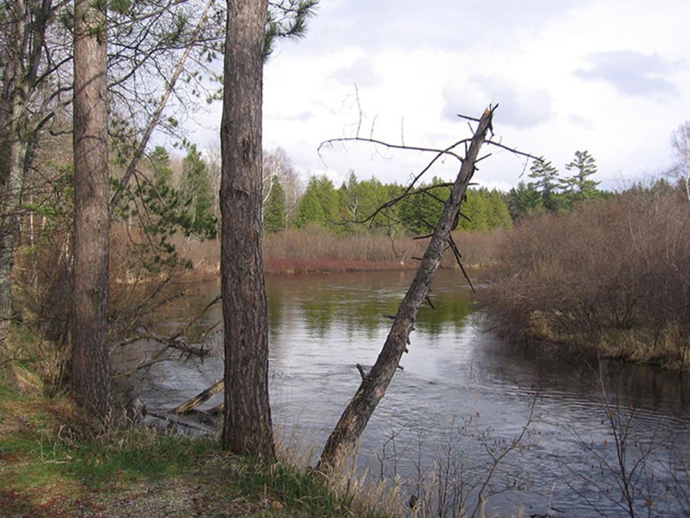
Your gateway to the North on the beautiful Manistee River. Take a scenic tour of Northern Michigan that only a canoe, kayak or tube can present to you. Your Adventure Awaits…
Menu
Campgrounds Near The Manistee River
Campgrounds near Shel-Haven with Electric and Sewer Hook-Ups
Address: LAT 44.694682159599999 LONG -84.8474953204 M-72 7.3 miles West of Grayling Grayling, MI 49738 Phone: 989-732-3541 Recreation Passport: Required Camp Sites/Fees: (23) 13.00
Activities
Fishing: Manistee River (on site): Brown/Brook/Rainbow Trout. Lake Margrethe (2.3 miles East): Walleye, Pike, Perch, Smallmouth Bass. Au Sable River (7.3 miles East). Paddling: Manistee River offers good canoeing opportunities. Canoe livery on M-72 right across the Manistee River from the campground and another canoe livery on Manistee River Road.
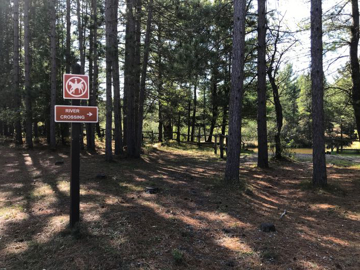
Address: LAT 44.612833600400002 LONG -84.992376087500006 10 miles SE of Kalkaska via M-72 and Sunset Trail Road Kalkaska, MI 49646 Phone: 231-922-5270 Recreation Passport: Required Camp Sites/Fees:
South Side (7) 13.00
North Side (23) 13.00
Activities
Fishing: Manistee River (on site): Trout. Cranberry Lake (5 miles NE): Bluegill and Bass. East Lake (9.5 miles NW): Bluegill, Bass and Perch.
Off-Road Vehicle Trails/Routes: Kalkaska (access and parking, 7 miles North): 90 miles of cycle/ATV trails and 39 miles of full-sized ORV routes.
Paddling: Excellent canoe access along the Manistee River.
Watchable Wildlife: Deward Tract is undeveloped land along the Upper Manistee River. Look for frogs, turtles, trout, deer, raccoons, kingfishers, wild turkey, and songbirds along this meandering waterway (18 miles NE).
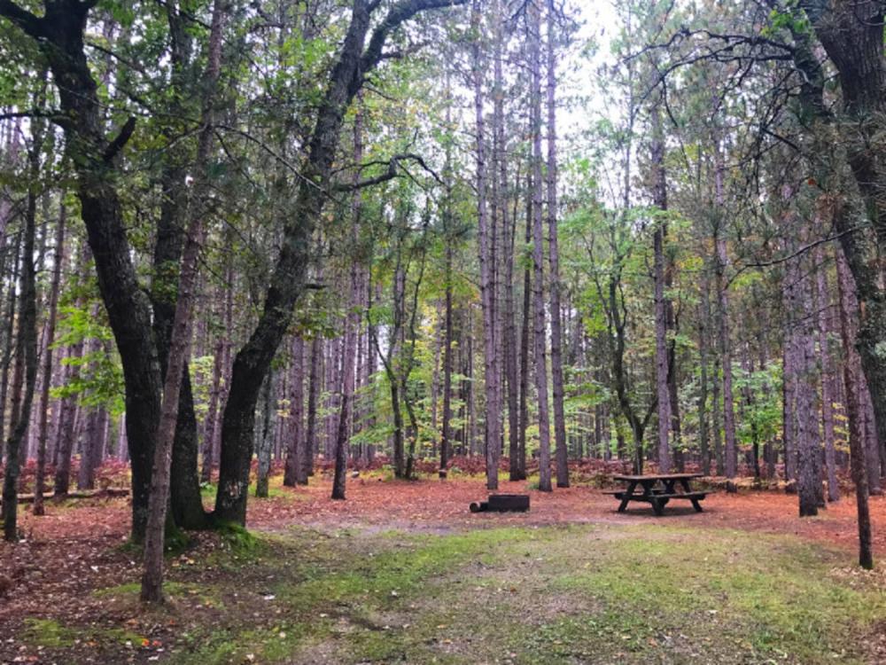
Address: LAT 44.491897818299996 LONG -85.417039052000007 Old US-131 Manton, MI 49663 Phone: 231-775-9727 Recreation Passport: Required Camp Sites/Fees: (25) 13.00
More Information
Rustic campground includes vault toilets and potable water from well hand pump.
Activities
Fishing: Manistee River (on site): Brown/Rainbow Trout, Bass, Walleye, Suckers.
Hiking: The North Country Trail is (1 mile west) of this campground. There is a spur trail connecting the Campground to the NCT: This National Scenic Trail hiking route from North Dakota to New York includes over 1500 miles in Michigan. See www.northcountrytrail.org.
Paddling: Campground is accessible by water and provides excellent canoeing along the Manistee River. Nearest canoe rental in Manton (7 miles SE).
Facilities
Boat Launch: Carry-in access to the Manistee River at campground.
Group Use Area
Picnic Area
Rustic Site
Walk-in Sites: 5 walk in sites (out of a total of 25 sites)
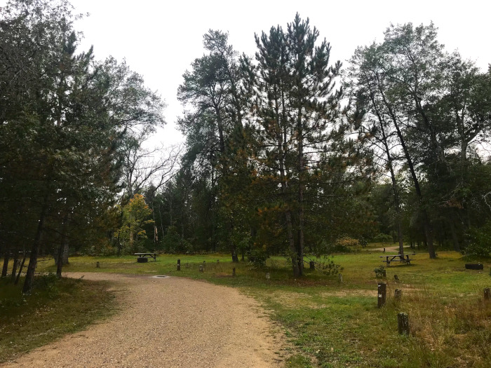
Address: LAT 44.492010954000001 LONG -85.527920237299995 12 miles NW of Manton via M-42 and 31 Road Manton, MI 49663 Phone: 231-775-9727 Recreation Passport: Required Camp Sites/Fees: (25) 13.00 Location 12 miles NW of Manton via M-42 and 31 Road. Make a Donation
Activities
Fishing: Manistee River (on site): Brown/Rainbow Trout, Bass, Walleye and Suckers.
Hiking: The North Country Trail is (1 mile North) of this campground: This National Scenic Trail hiking route from North Dakota to New York includes over 1500 miles in Michigan. See www.northcountrytrail.org.
Off-Road Vehicle Trails/Routes: North Missaukee Trail (10 miles East): 73 miles of cycle/ATV trail.
Paddling: Campground is accessible by water and provides excellent canoeing along the Manistee River. Nearest canoe rental in Manton (12 miles SE).
Watchable Wildlife: The Manistee River offers habitat for a large concentration of ducks and geese as well as bald eagles, deer, wild turkeys, river otters, raccoons, fish and more.
Facilities
Boat Launch: Carry-in access to Manistee River at campground, ramp access across road.